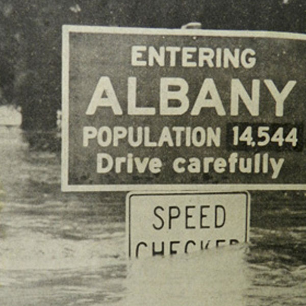
Albany was settled near the confluence of the Calapooia and Willamette rivers. Upstream, the Willamette River watershed drains approximately 4,840 square miles of mostly mountainous timberland. Development in the watershed can increase the magnitude and frequency of flooding. As fields and forests are replaced by "impervious surfaces" (such as pavement and buildings), development alters the way water is stored and how it moves through the watershed.
Learn more about flood and floodplain issues in Albany
 Know your risk
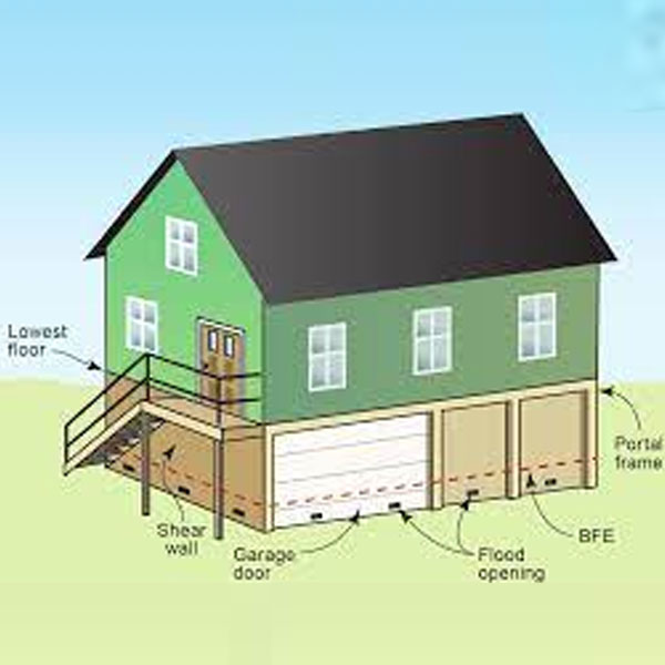 Build responsibly
 Insure your property
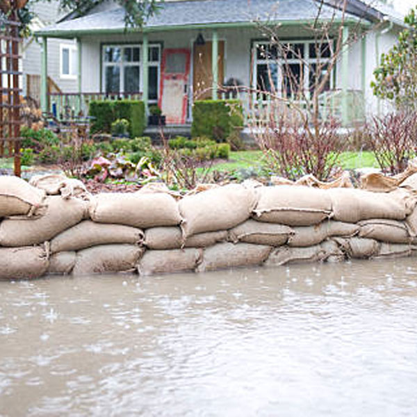 Protect your family and property
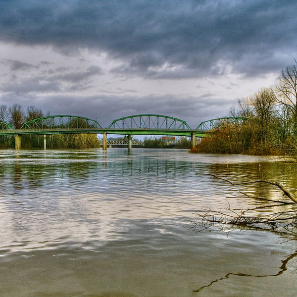 Protect the floodplain
 Oregon Biological Opinion
- 2016 Oregon Biological Opinion
- Draft Environmental Impact Statement Appendix A
- Draft Environmental Impact Statement Appendix B-K
- Draft EIS Implementation Plan
- Exclusive Summary of Draft Environmental Impact Statement
- Pre-Implementation Compliance Measures Webinar (FEMA)
- *Updated Habitat Assessment and Mitigation Guide
- Floodplain Habitat Assessment and Mitigation
- Pre-Implementation Compliance Measures
- Model Floodplain Management Ordinance
- Learn more at fema.gov
