North Albany Floodplain Study
In early 2010, the City began a study to model the floodplain of the Willamette River in North Albany. The study was initiated because the current FEMA floodplain maps for North Albany appeared to be inaccurate. The most significant inaccuracy was an unmapped floodway. In order to adequately review future development proposals and for the development community to know what challenges might exist on an existing parcel prior to investing in development, it was important to have a more accurate assessment of floodplain characteristics throughout North Albany
The North Albany floodplain study verified that there was a significant unmapped floodway through North Albany. This floodway is essentially an overflow channel from the Willamette River. It is estimated that, during a 100-year flood event, approximately 5,600 cubic feet per second (cfs) of water flows through this floodway at a maximum speed in excess of five feet per second. To put that amount of water in perspective, it is what typically flows in the Willamette River itself in September. At five feet per second, water with very little depth can apply enough force to push a car off of the road.
The study also unexpectedly identified significant differences in the amount of flooding throughout the study area. These differences were seen in both the extents and depths of flooding. When compared to FEMA’s most recent (2010) FIRMs, the study identified approximately 102 acres of property mapped as being in the floodplain that shouldn’t be and approximately 104 acres of property that should be shown in the floodplain but was not. Differences in the depths of flooding ranged from more than four feet less than the 2010 FEMA maps to around two feet more than the 2010 FEMA maps. The floodplain maps for North Albany were adopted by FEMA and the City in 2016 and became effective on December 8, 2016.
- Details
Flood & Floodplain Information
Albany was settled near the confluence of the Calapooia and Willamette rivers. Upstream, the Willamette River watershed drains approximately 4,840 square miles of mostly mountainous timberland. Development in the watershed can increase the magnitude and frequency of flooding. As fields and forests are replaced by "impervious surfaces" (such as pavement and buildings), development alters the way water is stored and how it moves through the watershed.
Learn more about flood and floodplain issues in Albany
 Oregon Biological Opinion
- 2016 Oregon Biological Opinion
- Draft Environmental Impact Statement Appendix A
- Draft Environmental Impact Statement Appendix B-K
- Draft EIS Implementation Plan
- Exclusive Summary of Draft Environmental Impact Statement
- Pre-Implementation Compliance Measures Webinar (FEMA)
- *Updated Habitat Assessment and Mitigation Guide
- Floodplain Habitat Assessment and Mitigation
- Pre-Implementation Compliance Measures
- Model Floodplain Management Ordinance
- Learn more at fema.gov
- Details
Protect the floodplain
Floodplains are a natural component of the city of Albany environment. Floodplains are scenic, serve as valued wildlife habitats, and are suitable for farming. Flooding in streams is a natural process. Vegetation serves as a natural filter, trapping sediments and capturing pollutants; it also anchors stream banks, reducing bank erosion and providing shade, which helps reduce water temperatures. Here are some suggestions to support natural floodplains functions:
Preserve and restore native vegetation and trees to reduce flood damage
Recognizing the natural and beneficial functions of floodplains can help to reduce flooding.
Keep it clear, keep it clean
Keep storm drains, ditches, and waterways clean from debris and pollutants to reduce damage from floods.
- Learn more about the Keep the Storm Drain Clean program.
- Learn more about Stormwater
Dumping or debris
If you see dumping or debris in ditches, creeks, or drains, contact the Public Works Department at 541-917-7600.
Benefits of Healthy floodplains
Maintaining or protecting the Floodplains benefits to people and nature.
Flood Protection
Floodplains provide a river more room as it rises, thereby reducing pressure on manmade flood protection structures, like levees and dams.
Improved Water Quality
When inundated with water, floodplains act as natural filters, removing excess sediment and nutrients, which can degrade water quality and increase treatment costs. Degradation of water quality due to the loss of floodplain habitat can be noted along smaller rivers and at-scale at large river basins. At the largest of scales are hypoxic or “Dead” zones, which are areas in bays or gulfs where little life exists due to excess nutrients carried by rivers.
Recharged Aquifers
Outside of a river’s main channel, water flow is slowed and has more time to seep into the ground where it can replenish underground water sources (or aquifers), which serve as a primary source of water for many communities and which are critical for irrigation that grows much of the world’s crops.
Improved Wildlife Habitat
Floodplains are home to some of the most biologically rich habitats on Earth. They provide spawning grounds for fish and critical areas of rest and foraging for migrating waterfowl and birds.
Recreational Industries
Many outdoor recreational activities – like fishing, hunting, camping, hiking, wildlife watching and boating – are made possible by or greatly enhanced by the natural processes of rivers and healthy floodplains. Combined, these recreational activities account for billions of dollars in economic activity in the United States and are important sources of income for most nations around the globe.
Volunteer Opportunities
Volunteer opportunities and events related to watershed health.
Water Quality and Watershed Health
Total Maximum Daily Load (TMDL) document related activities to help protect the river and improve watershed health.
- Details
Build responsibly
A permit may be required to build, grade, or fill in a floodplain.
Get a permit before you build
Always check with the Community Development Department at 541-917-7550 or visit the counter on the second floor of City Hall, 333 Broadalbin Street SW before you build on or alter property in the floodplain.
Build high, stay dry
Building above the base flood elevation is not only a requirement, but will protect your investment, facilitate financing, and reduce flood insurance.
Use flood-resistant materials and proper vents
Examples include “Smart Vents,” Concrete, Cement Board, Metal Doors and Cabinets, etc.
Floodplain Regulations
Floodplain Regulations
To comply with FEMA's National Flood Insurance Program (NFIP), the City administers floodplain regulations to reduce loss of life and property and to regulate activities that may obstruct or change the flow of water. Participation in NFIP allows residents and business owners to purchase federally backed flood insurance.
Floodplain Development Permit
A floodplain development permit is required for development activities in the 100-year floodplain. Floodplain development is defined as any man-made change to real property, including but not limited to, construction or placement of buildings or other structures, fencing, mining, dredging, filling, grading, paving, excavating, land clearing, drilling, or Continuous Storage Operations in the Special Flood Hazard Area (100-year floodplain). See Article 6 of the Albany Development Code
Useful FEMA Publications:
- Homeowner’s Guide to Retrofitting: Six Ways to Protect Your Home from Flooding
- Above the Flood: Elevating Your Floodprone House
- Protecting Manufactured Homes
- Protecting Building Utilities from Flood Damage
- Protecting Your Home and Property from Flood Damage
- Elevated Residential Structures
- Reducing Damage from Localized Flooding: A Guide for Communities
- Details
More ways to protect your family and property
Your Family
There are several things you can do to keep your family safe and help minimize flood damage. Even if you don't live in a floodplain, knowing what to do (and not to do) in a flood can be life-saving.
Develop an emergency plan
Be prepared in advance with an evacuation plan, emergency kit, and detailed checklist because warning of an impending flood may provide little time to prepare.
Safeguard your possessions
Create a personal flood file containing information about all your possessions and keep it in a secure place, such as a safe deposit box or waterproof container.
Prepare your house
Shut off gas and electricity and move valuable belongings upstairs. Store important documents and other irreplaceable items where they are unlikely to be damaged.
Get flood warnings
The Albany Alerts Emergency Notification System is a service by which residents and businesses can register to be notified by telephone, text, and/or email regarding emergencies or critical protective actions. Register online at albanyoregon.gov/albanyalerts
In the event of a flood, regular programming on radio and television will be interrupted to describe the nature of the flooding, the locations likely to be affected, and what protective action to take. Emergency services personnel will also conduct door-to-door notification when flooding is imminent. You should heed these warnings and take appropriate action to safeguard your life and property.
Avoid flood waters
It is NEVER safe to swim or walk through flood waters. Moving water can move a car – imagine what it can do to you.
Turn around, don’t drown
It takes just 12 inches of rushing water to carry away a small car. More than half of the deaths from flooding each year occur in vehicles.
Stay away from power lines and electrical wires
Electrical current can travel through water. Report downed power lines to your electric utility (Pacific Power or Consumers Power) or the county Emergency Management Office.
Current Weather Information
Your Property
Practical and cost-effective methods for reducing or eliminating the risk of flooding are available. Techniques include: elevation of the home; relocating the home to higher ground; constructing floodwalls or berms; flood-proofing the structure; having a licensed electrician protect utilities and electrical components; having a licensed plumber install backflow valves or plugs to prevent floodwaters from entering drains, toilets, and other sewer connections. A permit may be needed to ensure that projects do not cause flooding problems on other properties.
Don’t wait, mitigate
Retrofitting or elevating your home will protect your investment, reduce flood damage, and will likely save on flood insurance. See FEMA's Homeowner's Guide to Retrofitting: Six Ways to Protect Your House from Flooding.
Keep leaves and debris out of drains
Avoid flooding by regularly inspecting and cleaning your drainage system, and by properly disposing of leaves to keep them out of storm drains to prevent clogged storm drains. Learn more at Keep Your Storm Drain Clean.
How to protect your home from flood damage
If you live in the city limits and find that your property is located within a floodplain, Community Development staff can estimate the risk of flooding to your home; find ways to reduce or prevent flood damage to your property; make site visits to review flood, drainage and sewer problems; or provide tips on how to select a contractor. To speak with someone about these issues, please call 541-917-7550, or visit the Community Development customer counter, second floor of City Hall, 333 Broadalbin Street SW. Floodplain publications are also available for viewing in the reference section of the Main Library, located at 1390 Waverly Drive SE.
Useful Publications:
- Homeowner’s Guide to Retrofitting: Six Ways to Protect Your Home from Flooding
- How to Protect Your Home From Flood Damage
- Above the Flood: Elevating Your Floodprone House
- Protecting Manufactured Homes
- Protecting Building Utilities from Flood Damage
- Protecting Your Home and Property from Flood Damage
- Reducing Damage from Localized Flooding: A Guide for Communities
- FEMA NFIP Technical Bulletins
- Details

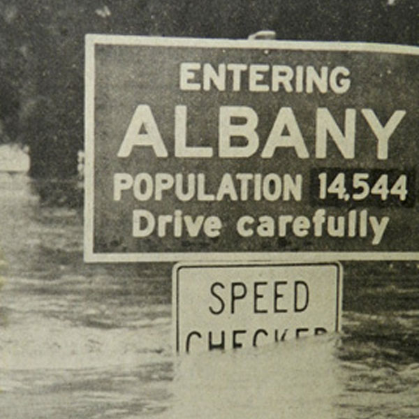 Know your risk
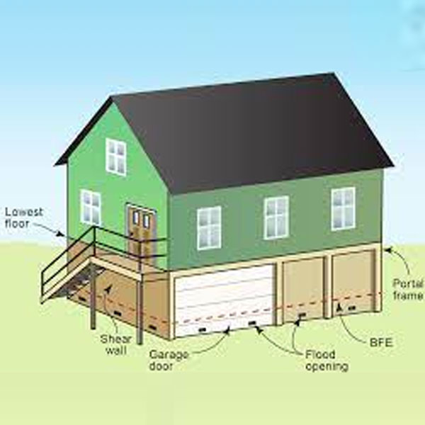 Build responsibly
 Insure your property
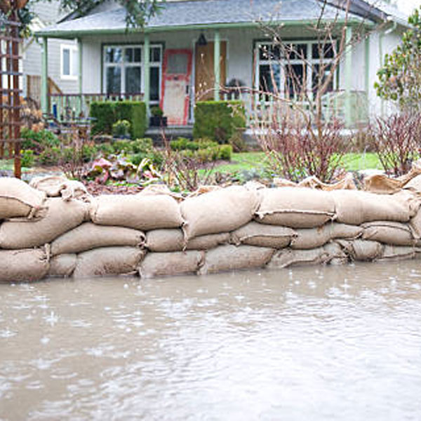 Protect your family and property
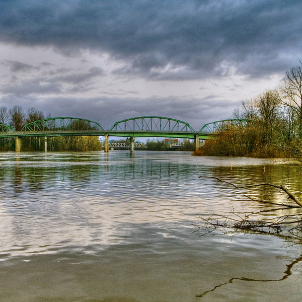 Protect the floodplain

